We got up early and took the shuttle to the Crazy Cook Monument on the Mexican border. The driver kept it interesting with various facts and landmarks. The dirt roads were recently improved and I didn’t see anything that a 2WD pickup couldn’t traverse in dry weather. Apparently the route was extremely rugged in years past, which is why we opted to take the shuttle. At one point the driver pointed out a dirt road adjacent to the highway and said the border patrol drags it with tires to smooth it out. That way they can see footprints of illegal aliens crossing the road? Seems kind of low tech to me. I’m surprised they bother when they have seismic detectors and IR cameras, etc..
We arrived at the terminus after a couple of hours and did the normal terminus stuff (pictures at the monument, stick a foot in Mexico, etc). There is not much here – just a small CDT monument and an awning for shade. There is also a small grave marker for Frank Evans who was part of a survey team in 1907. He got into an argument with the camp cook who killed him with an axe. I guess this just goes to show why you never want to piss off the cook…
Apparently this is one of the least patrolled sections of the Mexican border due to the harshness of the terrain. Water and protection from the sun are very limited so why would anyone attempt to cross here other than crazy thru hikers?
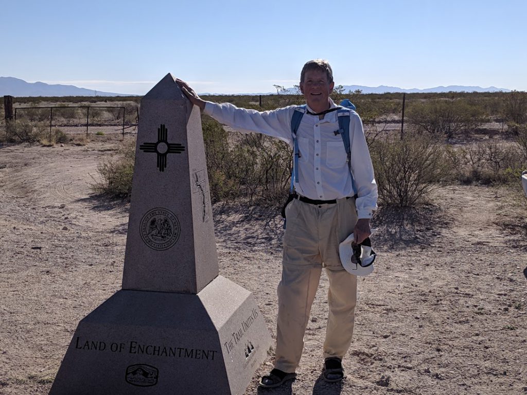
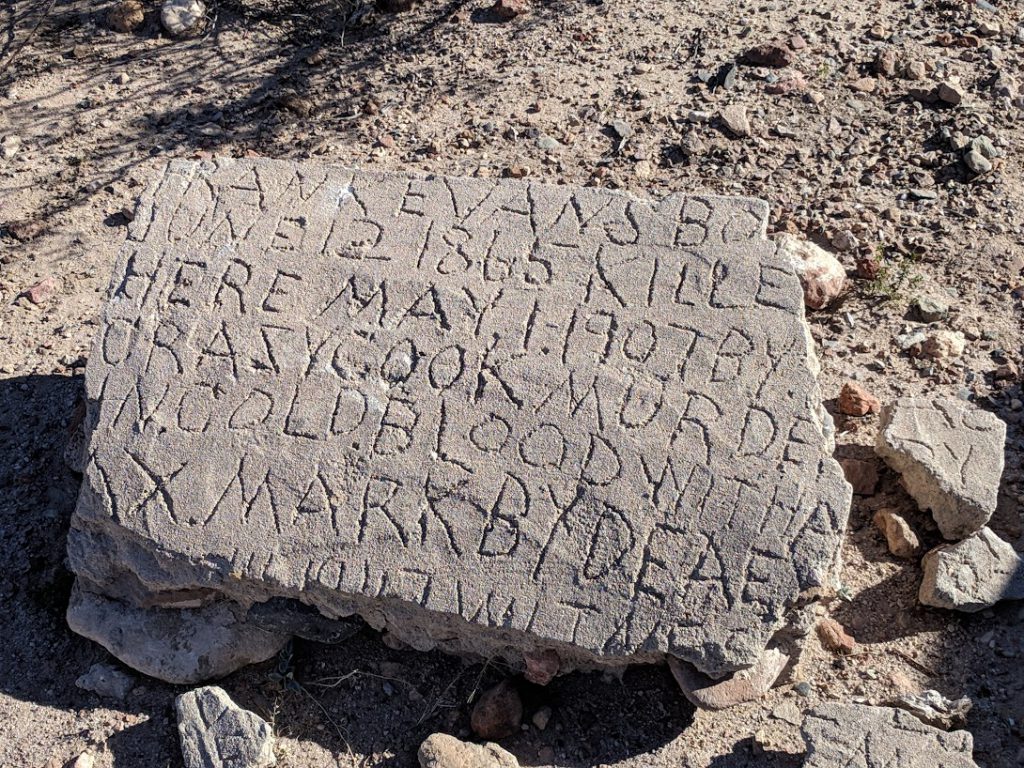
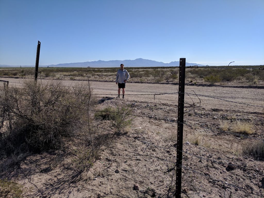
I hopped the border fence and went to Mexico – without a passport. What a renegade! Actually I was told that the real border is still 30 feet behind the fence. Whatever. Close enough.
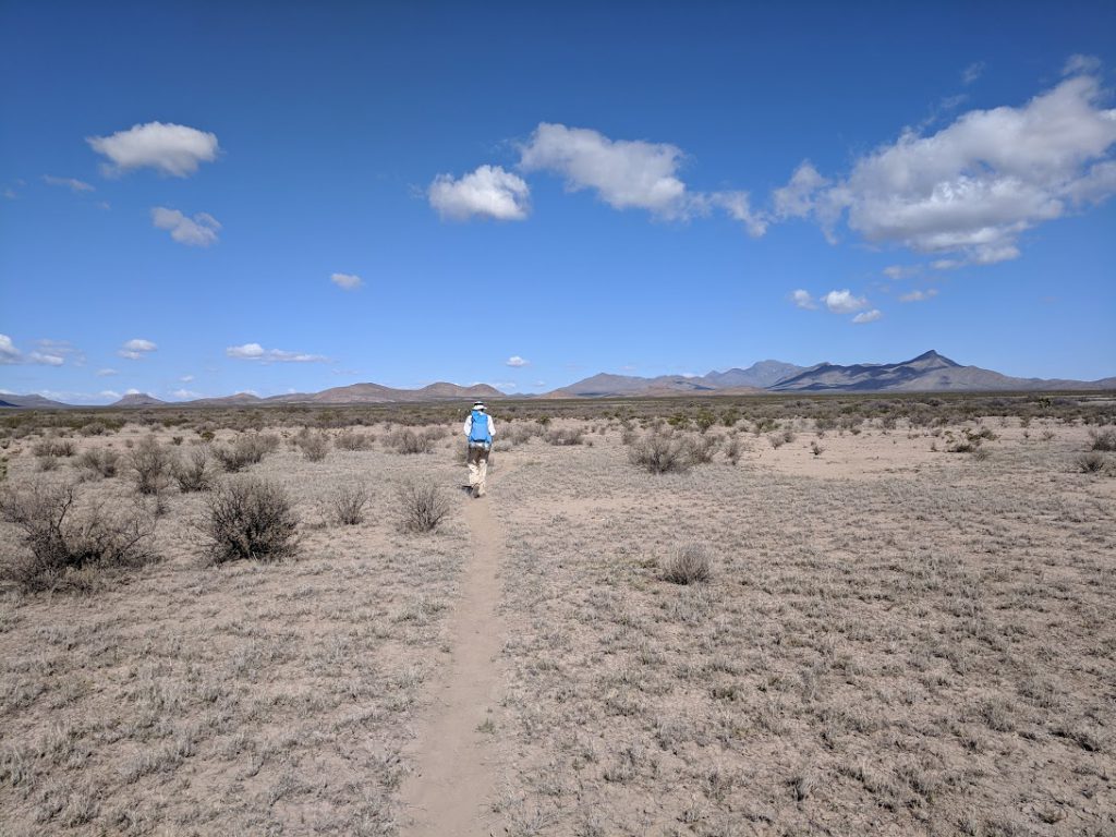
And so we started – headed to the Big Hachet Mountains off in the distance. The trail was fairly obvious as it left the monument, but quickly fizzled out to just a faint path and footprints. CDT signs are posted periodically, and the technique is to stand near one sign and scan the horizon for the next. Sometimes you can find it, sometimes not, so you just keep heading in the general direction until you do. If you lose the trail completely, you bring out your phone and use the Guthooks app to see if you are left or right of the trail and adjust your direction until you are back on track, at which time you usually see a trail fragment or sign again.
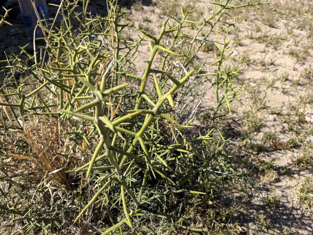
I am amazed at how tough the plants are. I’m wearing shorts and I’m used to the Pacific Northwest where all the plants are soft and furry and you just plow through them. Not so here. If you even lightly brush one of the fragile looking mesquite bushes it will scratch you up and draw blood. The thin stems are covered with spines and they do not bend! They are amazingly tough and it wasn’t long before my legs were covered in thin bloody scratches. I am quickly becoming more careful about what path I take and where I place my feet.
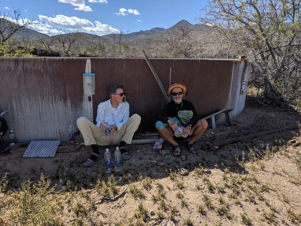


This first section from the border to Lordsburg has several water caches that are stocked by the shuttle drivers. They consist of a metal bear box (cabinet) containing several 5 gallon jugs of water. They are spaced about 15 miles apart through here because natural water sources are so rare.
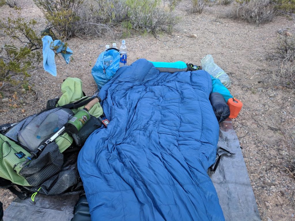
Robert and I are camped below the dirt road leading to the first water cache. I am on a flat sandy spot near a small wash. Pat camped above the road on a windy ridge. I walked up to visit with him while he ate dinner.
We hiked 14 miles today. I saw one lizard and a few rabbits. The weather is perfect but I’m shivering now in my cowboy camp. I’m really sleepy and my brain is kind of duh. Time for bed. There is also some kind of night hummingbird or moth that occasionally flies by at 100 mph. I watched the flying creatures for a bit and soon fell asleep and didn’t wake for hours. When I did the stars were amazing.